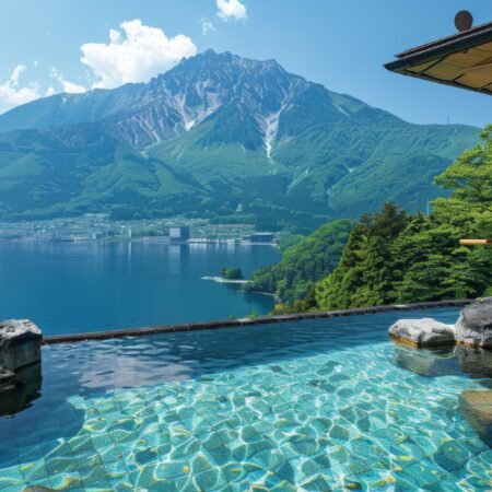






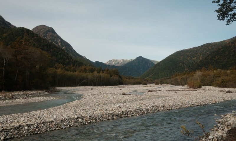
The bus doors hissed open at the Kama Tunnel checkpoint, and that’s when it hit me: no more cars. Not mine, not the driver’s after this stop, not anyone’s. I’d read about Kamikochi’s car ban before I went, but reading about it and actually feeling the hush that settles over a valley once the engines stop are two very different things. Fifteen minutes later I was standing on a wooden bridge with the Azusa River running clear and cold beneath me, the Hotaka peaks stacked up against the sky like something out of a postcard I didn’t believe was real until I was standing in it.
I’d lived in Japan for four years at that point and somehow never made it to Nagano’s most famous alpine valley. I kept picturing it as a “someday” trip — the kind you save for when you finally own proper hiking boots. Turns out you don’t need much more than decent sneakers and a willingness to get up early, because Kamikochi rewards the people who show up before the day-trip crowds do.
You Can’t Drive Here, and That’s the Whole Point
Private vehicles have been banned from the valley beyond the Kama Tunnel since 1994, and once you’re there, it’s obvious why. The road in from Matsumoto winds through Sawando, where everyone — locals, tour groups, solo travelers like me — parks and switches to a shuttle bus or taxi for the last stretch. On the Gifu side, the approach is from Hirayu Onsen instead. Either way, the last bus back leaves earlier than you’d expect (check the current timetable before you go, because it shifts by season), and missing it means a very expensive taxi ride or an unplanned night in Sawando.
What struck me most wasn’t the inconvenience of switching transport, though — it was how quickly the absence of traffic noise changed the whole feel of the place. You hear the river. You hear birds. Occasionally you hear another hiker’s boots on gravel. That’s about it.
Kappabashi and the Azusa River
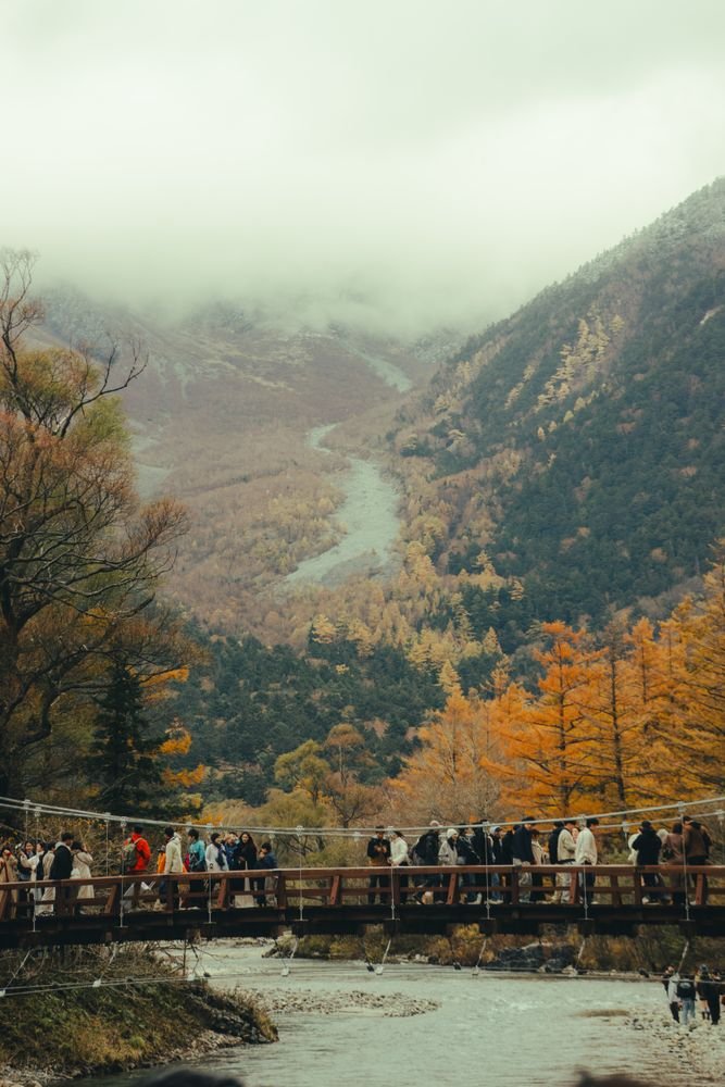
Kappa-Bashi, the suspension bridge that’s become the unofficial symbol of Kamikochi, is where nearly everyone starts. It’s narrow, it sways slightly underfoot in a way that made me grip the cable rail a little tighter than necessary, and it hands you the postcard view straight away: the Azusa River — famously the source stream of one of Japan’s major rivers — cutting through gravel banks with the jagged wall of the Hotaka mountain range rising directly behind it.
I’d expected to snap a photo and move on. Instead I stood there for a solid ten minutes just watching the light shift on the water. There’s a small cluster of lodges and a visitor center near the bridge, and I’d budget more time here than the “quick photo stop” it gets billed as online.
Two Ponds, Two Completely Different Moods
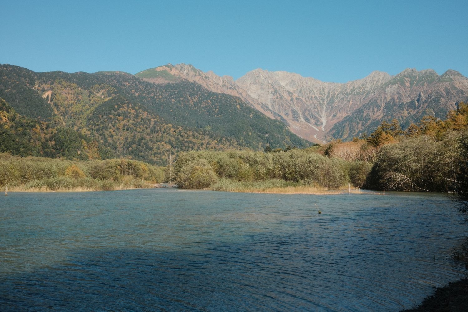
From Kappabashi, most visitors walk one of two directions, and I’d argue you should try to do both if your legs and your schedule allow it. Head south and you’ll reach Taisho Pond in about twenty unhurried minutes — a still, dark-watered lake with the skeletal trunks of drowned trees still standing in it, a leftover from when Mount Yake, the still-active volcano at the valley’s southern end, erupted in 1915 and dammed the river to create the pond almost overnight. It’s dramatic in a slightly eerie way, especially early in the morning when mist is still sitting on the surface.
Head north instead, along a flat, easy trail that hugs the river, and after about an hour you’ll reach Myojin Pond, which has an entirely different energy. It sits within the grounds of a small shrine dedicated to the deity of Hotaka, and there’s an admission fee to enter the shrine area itself, which felt entirely fair once I was inside — it was quieter, greener, and somehow more intimate than anywhere else I walked that day. Fewer people make the extra distance, which is exactly why I’d point you toward it.
Monkeys, Mountains, and the Ghost of an Englishman
Partway along the river trail, a rustle in the undergrowth turned out to be a troop of Japanese macaques going about their business, entirely unbothered by the hikers filing past. Nobody fed them, nobody approached them — the unspoken rule in Kamikochi seems to be that you observe and keep walking, which is part of a broader ethic here about leaving the place alone.
That ethic traces back partly to a British missionary and mountaineer named Walter Weston, who explored and wrote about the Japan Alps in the late 1800s and helped popularize recreational climbing here — enough that Kamikochi still holds an annual festival in his honor. There’s a relief plaque dedicated to him near Kappabashi, and standing in front of it, surrounded by peaks he helped put on the map for foreign visitors, felt like a small, strange bit of connection across a century.
Practical Notes for Visiting
Kamikochi is only open seasonally — generally mid-April through mid-November, closing completely once winter snow makes the valley inaccessible — so double-check the current year’s opening and closing dates before you plan around it. If you’re chasing autumn color the way I eventually did on a second trip, the higher elevation here means the leaves turn earlier than in the cities below, typically peaking sometime in the first half of October, though it shifts year to year with the weather. Whatever season you go, dress in layers; even on a warm September day, the valley floor sits at around 1,500 meters and the air cools fast once the sun dips behind the ridgeline.
Bring cash for the shrine admission at Myojin and for the small food stalls near Kappabashi, wear shoes you don’t mind getting a little wet on the trail, and get there early if you want the ponds without a crowd in every photo. It’s one of those places that’s genuinely worth the transfer-bus hassle to reach.
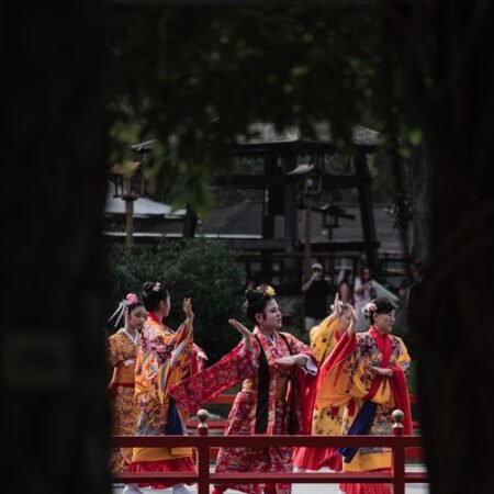
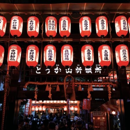
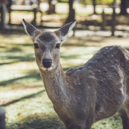
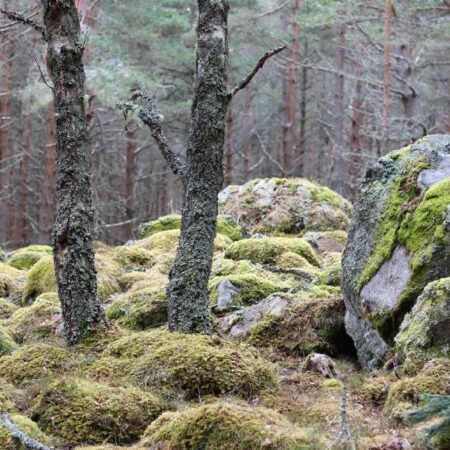
A quick note on photos: some of the images here are stock photos I’ve used to set the mood — they may not be the exact spot or moment I’m describing, just close in spirit.

コメント